Table of Contents
- Introduction
- Why Map Crafts Matter for Development
- Simple Map Crafts for Early Learners
- Taking it to the Kitchen: Edible Map Crafts
- Advanced Map Crafts for Older Children
- Connecting Maps to STEM and the Arts
- Group Projects and Classroom Ideas
- Tips for Success with Map Crafts
- Summary of Map Craft Activities
- Bringing it All Together
- FAQ
Introduction
It usually starts with a simple question during a long car ride or while reading a favorite adventure story: "How far away is that, exactly?" For many children, the concept of a "place" is abstract until they can see it, touch it, and create it. Maps are the bridge between a child’s immediate surroundings and the vast world waiting to be explored. Whether they are drawing a secret treasure trail or molding the continents out of dough, map crafts for kids offer a tangible way to understand geography, scale, and spatial relationships.
At I'm the Chef Too!, we believe that the best learning happens when children get their hands messy and their minds engaged. We blend STEM, the arts, and often the kitchen into adventures that make complex ideas feel like play. This guide explores a wide variety of map-based projects that transform traditional social studies into a multi-sensory experience. From neighborhood explorations to edible topography, these activities are designed to spark curiosity and build confidence in young explorers. If your family loves hands-on learning, you can also join The Chef's Club for a new adventure delivered every month.
Quick Answer: Map crafts for kids are hands-on activities—like salt dough landforms, treasure maps, or neighborhood sketches—that teach geography and spatial reasoning. These projects help children visualize their place in the world while building fine motor skills and STEM literacy.
Why Map Crafts Matter for Development
Before we dive into the "how," it is helpful to understand the "why." Mapping is more than just a social studies requirement; it is a fundamental cognitive skill. When a child creates a map, they are practicing "spatial thinking." This is the ability to visualize and manipulate objects in space, which is a core component of success in math and science. For more on blending hands-on learning with big ideas, explore our geography crafts guide.
Developing Spatial Reasoning
Spatial reasoning allows us to understand the relationship between objects. When a child draws a map of their bedroom, they have to figure out where the bed is in relation to the door. They have to decide how big the rug should be compared to the desk. This process of scaling down a large environment into a small drawing is an early introduction to geometry and proportions.
Building Global Awareness
For a young child, the world can feel very small. Map crafts help expand their horizon. By creating a 3D globe or a collage of the continents, children start to recognize that people, animals, and environments exist far beyond their own backyard. It fosters a sense of global citizenship and curiosity about different cultures and ecosystems.
Enhancing Fine Motor Skills
Map crafts often involve intricate work. Cutting out continent shapes, painting tiny rivers, or labeling specific landmarks requires precision. These movements strengthen the small muscles in the hands and fingers, which are essential for writing and other detailed tasks.
Encouraging Storytelling and Imagination
Maps are the ultimate prompts for "what if?" A hand-drawn pirate map isn't just paper; it is a story waiting to happen. By engaging in map crafts, children often start to narrate adventures, developing their language skills and creative thinking as they "travel" through their creations.
Simple Map Crafts for Early Learners
You do not need fancy supplies to start mapping. For preschoolers and early elementary students, the best activities are the ones that focus on their immediate environment. These projects help them transition from seeing the world from their own eye level to understanding it from an aerial or "birds-eye" view.
The Bedroom Blueprint
Step 1: Observe and List. / Walk into your child’s room with a clipboard and paper. Ask them to name the "big things" they see, like the bed, the dresser, and the window.
Step 2: Draw the Frame. / Help your child draw a large rectangle on a piece of paper to represent the walls of the room.
Step 3: Position the Landmarks. / Ask your child to draw the furniture where it belongs. Use simple shapes—rectangles for the bed, circles for a rug.
This activity is excellent for teaching "perspective." Explain that a map is like looking down from the ceiling like a bird. You can even use small toy blocks to build a 3D version of the room on top of the paper for a multi-dimensional experience.
The Living Room Treasure Hunt
Turn mapping into a game. Draw a very basic map of your living room or backyard. Mark a large "X" somewhere on the map where you have hidden a small toy or a treat.
As your child navigates the space using the map, they are practicing "map-to-ground" correlation. This is the skill of looking at a symbol on paper and finding its real-world counterpart. If the "X" is behind the blue chair on the map, they have to find the blue chair in the room. It’s a simple exercise that builds immense confidence.
Neighborhood Landmark Walk
Step 1: Take a Walk. / Go for a walk around the block. Encourage your child to point out "landmarks"—things that don't move and are easy to recognize, like a big oak tree, a red mailbox, or a neighbor's yellow fence.
Step 2: Collect "Data." / If you have a camera or a phone, let your child take pictures of these landmarks.
Step 3: Create the Map. / When you get home, draw a simple path on a large piece of paper. Have your child draw or glue the photos of the landmarks along the path in the order you saw them.
Key Takeaway: Early map crafts should focus on the child's immediate world—their room, their home, and their street—to make the concept of mapping feel relevant and reachable.
Taking it to the Kitchen: Edible Map Crafts
At I'm the Chef Too!, we love finding ways to make learning delicious. The kitchen is a natural laboratory for geography. Because landforms have different textures and heights, food is a perfect medium for representing mountains, rivers, and plains. If you want a ready-made example of food plus science, the Erupting Volcano Cakes kit is a fun companion for landform learning.
The Giant Cookie Continent
Instead of just drawing a map of a continent, why not bake one? Choose a continent with a distinct shape, like Africa or Australia.
- Bake a Large Base: Use a simple sugar cookie or gingerbread recipe. Roll the dough into the general shape of the chosen continent before baking.
- Icing the Oceans: Once the cookie is cool, use blue icing to "paint" the water around the edges.
- Adding Topography: This is where the STEM learning happens. Discuss different landforms. Use green sprinkles for rainforests, yellow sugar for deserts, and chocolate chips or mini-marshmallows to create mountain ranges.
- Labeling: Use small toothpicks with paper flags to label major landmarks, like the Sahara Desert or the Great Dividing Range.
Pizza Geography
Pizza is another fantastic canvas. Use a round crust to represent the Earth or a rectangular one for a flat map.
- Vegetable Landforms: Use sliced green peppers for "forests," pepperoni for "plateaus," and shredded cheese for "tundra."
- Sauce Rivers: Use a little extra tomato sauce to "draw" a river like the Nile or the Mississippi across your pizza map.
While the pizza bakes, you can talk about how heat changes the ingredients—a little kitchen chemistry to go with your geography lesson. This hands-on approach ensures that the "lesson" is something they can literally sink their teeth into.
Salt Dough Topography (A Kitchen Craft Classic)
While salt dough isn't for eating, it uses standard kitchen staples (flour, salt, and water) and is a foundational map craft for older kids. It allows children to explore "elevation."
The Recipe: Mix 2 cups of flour, 1 cup of salt, and 1 cup of water. Knead until smooth.
The Activity:
- Trace the outline of a state or country onto a piece of sturdy cardboard.
- Have your child spread the salt dough within the lines.
- Build up the dough to create mountains. Press it flat to create plains. Use a spoon to carve out riverbeds or lakes.
- Let it dry (this can take 24-48 hours) and then paint it. Use brown for high elevations, green for lowlands, and blue for water.
Bottom line: Using kitchen materials for map crafts engages multiple senses—touch, smell, and even taste—which helps solidify geographic concepts in a child's memory far more effectively than a worksheet alone.
Advanced Map Crafts for Older Children
As children reach the middle elementary years, they are ready for more complex concepts like "scale," "cardinal directions," and "magnetic north."
Building a Working Compass
Mapping and navigation go hand-in-hand. You can teach the science of magnetism by making a simple DIY compass.
- What you need: A sewing needle, a strong magnet, a piece of cork, and a bowl of water.
- The Process: Rub the magnet along the needle in one direction about 30-50 times. This "magnetizes" the needle. Carefully push the needle through a small slice of cork. Float the cork in the bowl of water.
- The Discovery: The needle will slowly spin until it points North/South.
Once the compass is working, have your child create a map of the backyard. They must include a "Compass Rose" on their map, showing which way is North, South, East, and West. This introduces the idea that maps aren't just pictures; they are tools for navigation.
The "Aged" Pirate Map
This is a favorite for combining art and history. It teaches children about the "Age of Discovery" and how old maps were made before digital printing.
- Draw the Map: Use a heavy white paper. Have your child draw an imaginary island, complete with "Skull Rock," "Hidden Coves," and "Treasure Forests."
- Include Map Essentials: Every good map needs a "Key" or "Legend." Have them create symbols—a palm tree symbol for a forest, an anchor for a harbor.
- The "Aging" Process: Crumple the paper into a tight ball, then flatten it out. This creates "veins" and wrinkles. Next, wipe a damp tea bag or a cloth dipped in cold coffee over the paper. The tannins will stain the paper a vintage brown.
- The Edges: Under adult supervision, an adult can carefully singe the edges with a lighter, or the child can simply tear them roughly to make the map look centuries old.
Recycled Cereal Box Globes
Instead of a flat map, try making a 3D representation of the Earth.
- The Base: Use a balloon or a round ball.
- The Paper Mache: Mix flour and water into a paste. Tear old newspapers or cereal boxes into strips. Dip the strips in the paste and layer them over the balloon.
- The Geography: Once dry, have your child paint the oceans. Then, give them printed "map gores" (the almond-shaped pieces of a map that cover a sphere) or have them draw the continents by looking at an atlas.
This project helps children understand that the Earth is a sphere and that flat maps always have a little bit of "distortion." It’s a great way to introduce high-level concepts in a very tactile way.
Connecting Maps to STEM and the Arts
At I'm the Chef Too!, we see every activity as a triple-threat of learning: Science, Technology, Engineering, and Math, all wrapped in a creative, artistic shell. Map crafts are the perfect example of this "edutainment" philosophy. If your child loves broader STEM adventures, browse our full kit collection to find more hands-on themes.
The Math of Mapping: Scale and Measurement
When children create maps, they are using math constantly. If they are mapping their backyard, you can ask: "If one inch on your paper equals five steps in the yard, how many inches long should the patio be?" This is an introduction to "ratio" and "proportion."
For a fun challenge, give them a ruler and have them measure various items in the house. Then, ask them to create a "map" of those items on a single sheet of paper. They will quickly realize they have to make the items smaller to fit—that is the essence of scaling.
The Science of Topography
Maps aren't just about where things are; they are about what the land looks like. You can use map crafts to teach about tectonic plates and erosion.
For instance, if you are working on a mountain craft, you can talk about how mountains are formed when the Earth's crust pushes together. If your child is interested in how the Earth changes over time, our Erupting Volcano Cakes kit is a perfect companion. It allows them to build a "landform" (the volcano), understand the chemical reaction that causes an eruption, and see how "lava" (icing) flows down and changes the "topography" of their cake.
The Art of Cartography
Cartography is the art and science of mapmaking. Historically, mapmakers were also incredible artists. They would decorate the corners of their maps with sea monsters, ornate compass roses, and beautiful calligraphy.
Encourage your child to "beautify" their maps. Let them use watercolors to show the different depths of the ocean—light blue for the shore, dark navy for the deep sea. This teaches "color theory" and helps them see that scientific documents can also be works of art.
Myth: Map reading is an obsolete skill because we have GPS. Fact: Map skills are about more than finding a route; they build spatial reasoning, critical thinking, and a foundational understanding of how the world is organized—skills that GPS cannot replace.
Group Projects and Classroom Ideas
Map crafts for kids are also wonderful for social settings, such as classrooms, homeschool co-ops, or birthday parties. Working on a map together teaches collaboration and communication. For larger learning groups, our school and group programmes can help bring hands-on STEM to a classroom or co-op setting.
The "Our Community" Wall Map
In a classroom or group setting, hang a very large piece of butcher paper on the wall.
- Assign Zones: Give each child or pair a "zone" of the local community to research and draw. One group might handle the local park, another the main street with the shops.
- Combine and Connect: The children must work together to make sure their roads meet up at the edges of their zones.
- Personalize: Have each child draw a small picture of themselves and glue it onto the map where their house would be.
Our school and group programmes often use these types of collaborative projects to help children see how their individual efforts contribute to a larger whole. It’s a powerful lesson in community and teamwork.
Geography "Stations"
If you are hosting a group of children, set up different "stations" based on mapping:
- Station 1: The Compass Challenge. Use a compass to find hidden objects in the room based on directions (e.g., "Walk five steps North").
- Station 2: The Map Puzzle. Take a map of the United States or the world, cut it into "puzzle pieces," and have the kids work together to assemble it.
- Station 3: Sensory Landforms. A bin of sand and water where kids can physically move the "earth" to create islands, peninsulas, and isthmuses.
Tips for Success with Map Crafts
To make map crafts for kids a positive experience, keep these practical tips in mind:
- Start Small: Don't try to map the entire world on day one. Start with a desk, a room, or a garden.
- Embrace the Mess: Projects like salt dough or paper mache are inherently messy. Lay down a plastic tablecloth and view the cleanup as part of the "lab work."
- Focus on the Journey, Not the Accuracy: A five-year-old's map of the world might have a giant ocean where Europe should be. That’s okay! The goal is the "process" of thinking about the world, not creating a perfectly scaled GPS-grade document.
- Use Real Tools: If possible, let them see a real paper road map or a physical globe. In a world of digital screens, there is something magical about the tactile feel of a folding map or a spinning globe.
- Ask Leading Questions: Instead of telling them where to put a landmark, ask: "Where was the big tree in relation to the front door? Was it to the left or the right?" This encourages them to use their own memory and spatial logic.
Summary of Map Craft Activities
| Activity Name | Primary Concept | Age Range | Materials Needed |
|---|---|---|---|
| Bedroom Blueprint | Perspective & Scale | 4-7 | Paper, markers, ruler |
| Giant Cookie Map | Topography & Nutrition | 5-10 | Cookie dough, icing, candy |
| DIY Compass | Magnetism & Navigation | 7-12 | Needle, magnet, cork, water |
| Salt Dough Map | Elevation & Landforms | 6-11 | Flour, salt, water, paint |
| Aged Pirate Map | History & Symbols | 5-12 | Paper, tea/coffee, markers |
| Cereal Box Globe | 3D Geometry | 8-12 | Cardboard, balloons, paste |
Key Takeaway: By varying the complexity and the "medium" of the map—from paper to dough to digital photos—you keep the learning fresh and cater to different styles of learners.
Bringing it All Together
Map crafts for kids are a gateway to a lifelong love of learning and discovery. They take a subject that can sometimes feel dry—geography—and turn it into a vibrant, hands-on adventure. Whether your child is mapping the "peaks" of a mashed potato mountain or navigating the "wilds" of your neighborhood, they are building the cognitive tools they need for a bright future in STEM and beyond.
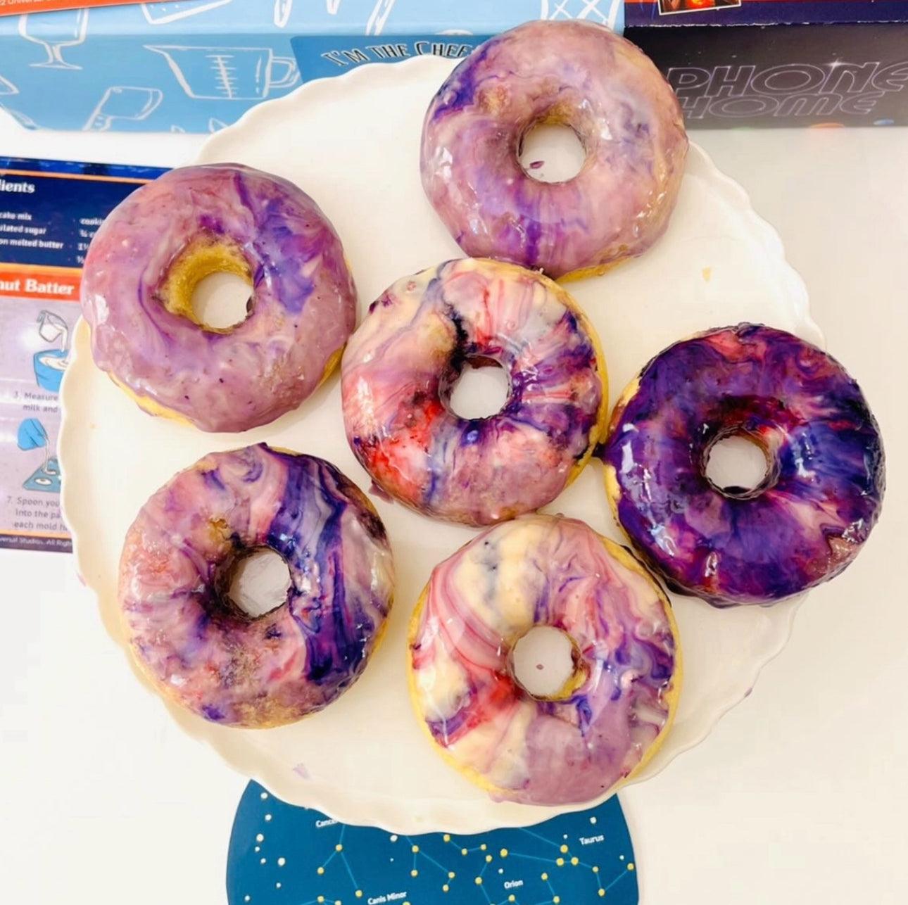
At I'm the Chef Too!, we believe that the kitchen and the craft table are the best classrooms. Our mission is to provide families and educators with the tools to create "edutainment" moments that stick. From our monthly adventures in The Chef's Club to themed kits like the Galaxy Donut Kit, we strive to make every experience one that blends food, science, and art into a memory your family will cherish.
Ready to start your next adventure? Clear off the kitchen table, grab a box of salt or a batch of cookie dough, and start mapping your way to a fun, screen-free afternoon of learning. If you want to keep the ideas flowing, join The Chef's Club and enjoy a new themed experience every month.
FAQ
What age is best to start map crafts for kids?
You can start as early as age three or four by having them draw very simple "maps" of their immediate environment, like their playroom. As they get older, around ages seven to ten, they can begin to understand more complex concepts like scale, cardinal directions, and 3D topography.
How do map crafts help with STEM education?
Map crafts integrate math through measurement and scaling, science through the study of landforms and magnetism, and engineering through the construction of 3D models. They help children develop spatial reasoning, which is a critical skill for future success in many STEM-related fields. For more ideas that connect food, creativity, and science, this STEM activities guide is a great next step.
Can I do map crafts in the kitchen?
Absolutely! The kitchen is a great place for geography projects. You can bake "continent cookies," build "topography pizzas" with different toppings representing landforms, or create non-edible salt dough maps using common pantry staples like flour and salt. If your child enjoys edible learning, the map craft adventure guide offers even more hands-on inspiration.
How do I teach my child to use a compass with these crafts?
Start by making a simple DIY compass using a magnetized needle and a bowl of water to show them how the needle always finds "North." Once they understand that constant, have them draw a "Compass Rose" on their paper maps and use their compass to label which side of the map is North, South, East, and West.