Table of Contents
- Introduction
- Why Hands-On Landform Projects Matter
- Identifying the Key Landforms to Teach
- The Classic Salt Dough Landforms Project
- Edutainment: Edible Landforms Project
- The Shoebox Diorama: A 3D Geography Lesson
- Teaching the Science Behind the Landforms
- Integrating Literacy and Social Studies
- Age-Appropriate Variations for Landforms Projects
- Tips for a Mess-Managed Experience
- Classroom and Group Project Ideas
- Making Memories Through Discovery
- Conclusion
- FAQ
Introduction
Watching a child look out a car window and ask why a mountain is so tall or how a river carved through rock is a magical moment for any parent or educator. These questions are the building blocks of curiosity, yet explaining geological time scales and tectonic shifts can feel abstract for young learners. At I’m the Chef Too!, we believe the best way to understand the world is to build it ourselves. A landforms project for kids transforms complex geography into a tangible, hands-on adventure that stays with them long after the lesson ends.
This guide explores a variety of creative ways to teach children about the Earth's surface. From classic salt dough maps to "edutainment" experiences that blend science and art, we provide actionable projects for both the kitchen table and the classroom. Our goal is to help you bridge the gap between a textbook definition and a real-world understanding of the planet we call home. By the end of this article, you will have a toolkit of activities designed to spark curiosity and build confidence in young scientists.
Why Hands-On Landform Projects Matter
Geography can often feel like a list of vocabulary words to memorize. However, when children engage in a landforms project for kids, they move from passive listening to active discovery. Building a physical model requires them to consider scale, texture, and the relationship between different features. Why does a river usually flow from a mountain to the sea? Why are plains flat while plateaus are raised?
Hands-on learning is particularly effective for STEM education because it engages multiple senses. When kids mix dough, paint "snow" on mountain peaks, or pour water to simulate erosion, they are forming neural pathways that help them retain information. For educators, these projects serve as a multi-disciplinary tool, touching on earth science, social studies, and even fine arts. For parents, it is a way to provide screen-free enrichment that feels like play rather than work.
For families who want a ready-made way to keep that momentum going, you can join The Chef’s Club and bring a new hands-on adventure home each month.
Quick Answer: A landforms project for kids is a hands-on activity where children build physical models of Earth's features—such as mountains, valleys, and islands—using materials like salt dough, clay, or even food. These projects help students visualize geography and understand the geological forces, like erosion and plate tectonics, that shape our world.
Identifying the Key Landforms to Teach
Before diving into the construction phase, it is helpful to establish which landforms your child or students will be modeling. While there are dozens of geological features, focusing on the primary ten to twelve ensures the project remains manageable and educational.
High-Elevation Landforms
Mountains are the most recognizable features, characterized by high peaks and steep sides. Explaining that they are often formed by tectonic plates pushing together adds a layer of science to the craft. Hills are similar but rounded and lower in elevation, making them a great comparison point for discussing scale. Plateaus are unique "tablelands" that are high like mountains but flat on top, teaching kids that elevation doesn't always mean a peak.
Low-Elevation and Flat Landforms
Valleys are the low areas between mountains or hills, often carved by rivers or glaciers over thousands of years. Plains represent vast, flat areas of land, which are excellent for discussing agriculture and where people choose to live. Canyons are deep valleys with very steep sides, usually created by the long-term erosion of a river.
Water-Related Landforms
Islands are land masses entirely surrounded by water, while peninsulas are surrounded by water on three sides. Deltas occur at the mouth of a river where sediment is deposited, creating a fan-shaped landform. Teaching these together helps children understand the interaction between land and water.
The Classic Salt Dough Landforms Project
The salt dough island or map is a staple in elementary education for a reason: it is inexpensive, durable, and highly customizable. This project allows kids to act as "Earth creators," shaping the terrain with their own hands.
Preparing the Salt Dough
You likely already have the ingredients in your pantry. You will need:
- 2 cups of all-purpose flour
- 1 cup of table salt
- 1 cup of warm water
- Optional: 1 tablespoon of alum (to help the dough harden)
Step 1: Mix the dry ingredients. In a large bowl, whisk together the flour and salt. If you are using alum, add it now.
Step 2: Incorporate the water. Add the water slowly, stirring as you go. Once it becomes too thick to stir, use your hands to knead the dough until it is smooth and pliable. If it is too sticky, add a little more flour; if it is crumbly, add a few drops of water.
Step 3: Create the base. Use a sturdy piece of cardboard or a heavy plastic tray as the foundation. This will allow the project to be moved while it dries.
Step 4: Sculpt the landforms. Encourage your child to build their island. Start with the "big" features like mountains in the center and work outward toward the coast. Use a finger or a spoon to carve out riverbeds and lakes.
Step 5: Drying and Painting. Salt dough can air-dry over two to three days, or you can bake it in a low-temperature oven (around 200°F) for several hours until hard. Once cool, use acrylic or tempera paints. Blue for water, green for plains, brown for mountains, and white for snowy peaks.
Edutainment: Edible Landforms Project
Blending food and STEM is what we do best. An edible landforms project for kids is often the most memorable because it engages the sense of taste. Using food to represent geological layers or features makes the concepts "digestible" in more ways than one.
Building a "Tectonic Snack"
To explain how landforms like mountains and trenches are made, you can use graham crackers and frosting.
- The Magma: Spread a layer of chocolate or vanilla frosting on a plate to represent the Earth's mantle.
- The Plates: Place two graham crackers side-by-side on top of the frosting. These are your tectonic plates.
- The Movement: Push the crackers together. As they collide, the edges will crumble and rise, creating a "mountain range." If you pull them apart, the "magma" (frosting) rises to fill the gap, showing how new land is formed at mid-ocean ridges.
Dessert Landforms
Another fun approach is using different types of food to represent specific features.
- Chocolate bars can be broken into jagged pieces to represent a plateau or a mesa.
- Whipped cream makes for perfect snow-capped mountains.
- Blue gelatin or pudding serves as a lake or ocean.
- Pretzel sticks can be stacked to show the layers of rock in a canyon.
If your child is fascinated by the more explosive side of geography, our Erupting Volcano Cakes kit is a perfect extension of this activity. It allows them to build a delicious volcano and experience a chemical reaction that mimics a real eruption, combining chemistry with earth science in one delicious experience.
The Shoebox Diorama: A 3D Geography Lesson
For a more detailed and artistic landforms project for kids, the shoebox diorama is an excellent choice. This format encourages children to think about the environment surrounding the landform, including vegetation and wildlife.
Materials Needed
- An empty shoebox
- Construction paper (blue, green, brown, tan)
- Modeling clay or play dough
- Natural materials (twigs, small stones, dried moss)
- Glue and scissors
Structuring the Diorama
Step 1: Set the scene. Turn the shoebox on its side. Glue blue paper to the back and top "walls" to represent the sky. Glue green or tan paper to the bottom to represent the ground.
Step 2: Build the primary landform. Choose one or two landforms to focus on, such as a canyon and a river. Use crumpled brown paper or clay to build the steep walls of the canyon along the sides of the box.
Step 3: Add the water feature. Cut a strip of blue paper or use blue clay to create a river flowing through the bottom of the canyon.
Step 4: Detail the environment. Glue small twigs to look like trees and moss to look like bushes. If you have small plastic animals, place them in their appropriate habitats—a mountain goat on a ledge or a fish in the river.
Step 5: Label the features. Have the child write small labels on toothpicks and stick them into the clay. This reinforces the vocabulary and makes the project look like a museum exhibit.
Key Takeaway: Effective landforms projects move beyond simple definitions by allowing children to physically manipulate materials, which helps them visualize how geological features interact with one another in a three-dimensional space.
Teaching the Science Behind the Landforms
A landforms project for kids is the perfect "hook" to introduce deeper scientific concepts like erosion, weathering, and plate tectonics. Without these forces, the Earth would be a smooth, featureless sphere.
The Role of Water and Wind (Erosion)
You can demonstrate erosion using a simple sand tray. Build a "mountain" of sand on one end of a plastic bin. Use a watering can to simulate rain. As the water flows down the sand, children will see it carve out tiny "valleys" and "rivers," carrying the sand (sediment) to the bottom of the tray to form a "delta." This visualizes how the Grand Canyon was formed over millions of years by the Colorado River.
Plate Tectonics and Volcanism
Explain that the Earth's crust is like a giant jigsaw puzzle. These pieces, or plates, are constantly moving.
- Convergent boundaries: When plates crash into each other, they create mountains and volcanoes.
- Divergent boundaries: When they pull apart, they create rifts and valleys.
- Transform boundaries: When they slide past each other, they cause earthquakes.
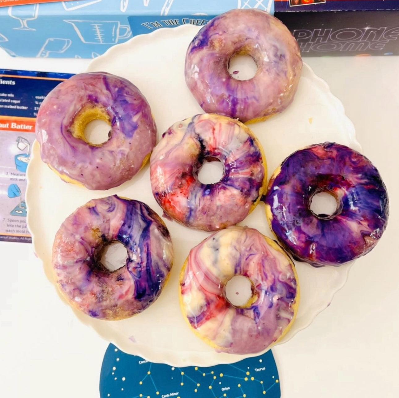
When we create projects like our Galaxy Donut Kit, we often talk about how planets form and the forces that shape their surfaces. While that kit focuses on the wonders of space, the same principles of gravity, heat, and pressure apply to the landforms we see right here on Earth.
Weathering vs. Erosion
It is common for kids to confuse these two. Use a simple analogy: Weathering is the hammer that breaks the rock into smaller pieces (through ice, plant roots, or chemical changes). Erosion is the truck that carries those pieces away (through water, wind, or gravity). A project that involves breaking up crackers (weathering) and then blowing them across a plate with a straw (erosion) makes this distinction clear and fun.
Integrating Literacy and Social Studies
A landforms project for kids doesn't have to stay in the realm of science. It is a fantastic opportunity to build literacy skills and explore how geography affects human history.
Creating a Travel Brochure
Once a child has built their salt dough island or diorama, ask them to create a travel brochure for it.
- The Name: Give the landforms creative names (e.g., "Crystal Peak" or "Emerald Valley").
- The Description: Write a paragraph describing what a visitor would see. "Visit the majestic mountains where the air is cool and the peaks are covered in snow."
- The Activities: What can you do there? Hike the canyon? Swim in the bay? This encourages descriptive writing and creative thinking.
Geography and Civilization
Discuss why people live where they do. Why are most big cities located on a coast or a river? Why are plains used for farming while mountains are often used for mining? Looking at a map of the United States and identifying where the major mountain ranges and plains are located helps kids connect their small-scale project to the real world.
For more ideas that blend place-based learning with creativity, try our hands-on geography crafts for kids.
Myth: Landforms are permanent and never change. Fact: The Earth's surface is dynamic and constantly changing. While some changes take millions of years (like mountain building), others happen in minutes (like a landslide or volcanic eruption).
Age-Appropriate Variations for Landforms Projects
Every child learns at a different pace, so it is important to tailor the complexity of the landforms project for kids to their age and developmental stage.
Preschool and Kindergarten (Ages 3-5)
Focus on the most basic shapes and textures. Use play dough to make "big bumps" (mountains) and "flat spots" (plains). Sensory bins are excellent for this age. Fill a bin with blue water-beads and green sponges to represent islands in an ocean. The goal here is vocabulary exposure and fine motor skill development.
Lower Elementary (Ages 6-8)
This is the "sweet spot" for salt dough and edible landforms. Children at this age can handle more specific definitions and enjoy the process of painting and labeling. You can introduce the idea of "bodies of water" (lakes, rivers, oceans) alongside the landforms to show how they coexist.
Upper Elementary and Middle School (Ages 9-13)
Older kids can tackle more complex projects like topographical maps. Instead of just making a mountain, they can use layers of cardboard to show different elevations, creating a 3D contour map. They can also research specific real-world landforms, like the Himalayan Mountains or the Nile River Delta, and try to recreate them accurately. This age group is also ready to dive into the chemistry and physics of geological changes.
Tips for a Mess-Managed Experience
We know that "hands-on" often means "hands-messy." Whether you are a parent at home or a teacher in a classroom, a little preparation goes a long way in keeping the focus on learning rather than cleaning.
- Prep the Workspace: Cover your table with a cheap plastic tablecloth or even flattened trash bags. This makes cleanup as easy as bundling up the mess and tossing it.
- Tray-Based Learning: Give each child a cafeteria tray or a rimmed baking sheet. This keeps the salt dough, paint, or food crumbs contained in one designated area.
- Pre-Measure Ingredients: If you are doing a kitchen-based project, measure out the flour and salt ahead of time. This reduces the "flour clouds" that can happen when kids are eager to help.
- Wet Wipes are Key: Keep a container of wipes nearby for quick hand cleaning before they touch the walls or their clothes.
At I’m the Chef Too!, our individual kits come with pre-measured dry ingredients and specialty supplies specifically to help manage this process for families. We want the "edutainment" to be joyful and stress-free for the adults involved.
| Project Type | Best For | Key Materials | STEM Concept |
|---|---|---|---|
| Salt Dough Island | Ages 6-10 | Flour, Salt, Paint | Topography & Scale |
| Edible Tectonics | Ages 5-12 | Graham Crackers, Frosting | Plate Tectonics |
| Shoebox Diorama | Ages 7-11 | Shoebox, Clay, Moss | Habitats & Ecosystems |
| Sand Tray Erosion | Ages 4-9 | Sand, Water, Bin | Weathering & Erosion |
Classroom and Group Project Ideas
If you are an educator or a homeschool co-op leader, a landforms project for kids can be scaled up into a collaborative experience.
The "Classroom Continent"
Instead of each student making a small island, have the class work together to create a giant "continent." Assign different groups to create specific regions. Group A builds the mountain range, Group B creates the coastal plains, and Group C carves out the central lake and river system. When all the pieces are pushed together, the students see how different ecosystems and landforms connect on a large scale.
Landform "Speed Dating"
Give each student a card with a landform name and its definition. Have them move around the room and "introduce" themselves to others. "Hi, I'm a Peninsula. I'm surrounded by water on three sides. Who are you?" "I'm a Canyon. I'm a deep valley with steep sides." This active movement helps solidify vocabulary before they start their physical projects.
For classrooms, co-ops, and other group settings, our school and group programmes make it easier to bring hands-on STEM into a larger learning environment.
The "Build-a-Country" Project
For older students, combine geography with civics. Ask them to design a country. They must include at least five specific landforms and then explain how those features influenced where they put their capital city, their farms, and their ports. This bridges the gap between physical geography and human geography.
Making Memories Through Discovery
The real value of a landforms project for kids isn't just the finished model sitting on the shelf. It’s the conversation that happens while the dough is being kneaded or the frosting is being spread. It’s the "aha!" moment when a child realizes that the hill in the park is actually a landform they know how to name.
By combining the arts (sculpting and painting) with STEM (geology and chemistry), we provide a holistic learning experience. This "edutainment" approach ensures that the information isn't just memorized for a test but understood as a fundamental part of how the world works. Whether you are using a kit or building from scratch with pantry staples, you are creating a space for curiosity to thrive.
You can also keep the learning going with our Wild Turtle Whoopie Pies, a playful way to connect animals, habitats, and hands-on kitchen fun.
Bottom line: Whether through salt dough, food, or dioramas, landform projects provide a multi-sensory way for children to internalize geographical concepts, making science feel like a creative adventure.
Conclusion
Teaching children about the Earth's wonders doesn't require a PhD in geology; it just requires a bit of imagination and a few simple materials. A landforms project for kids is more than just a craft; it is a gateway to understanding the massive forces that shape our lives. From the mountains that influence our weather to the rivers that provide our water, geography is the foundation of our existence.
At I'm the Chef Too!, we are dedicated to helping families and educators turn these complex subjects into delicious, hands-on adventures. Our goal is to replace screen time with "doing" time, fostering a generation of confident, curious thinkers. Through our Chef's Club subscription, we deliver these kinds of STEM-infused experiences to your door every month, making it easier than ever to bring "edutainment" into your home.
So, grab some flour, clear off the kitchen table, and start building. Whether you’re creating a snow-capped peak out of salt dough or a volcanic eruption in a cake, you’re doing more than just teaching geography—you’re building memories.
- Choose your project: Decide between salt dough, edible, or diorama based on your available time and materials.
- Define your landforms: Pick 5-10 key features to focus on to keep the learning targeted.
- Incorporate science: Discuss erosion or tectonics while you build to add depth to the activity.
- Celebrate the result: Have your child present their project or write a brochure to reinforce their new knowledge.
Ready for your next adventure? Explore our full kit collection for one-time kits like the Galaxy Donut Kit or the Wild Turtle Whoopie Pies to keep the hands-on learning going!
FAQ
What is the easiest landforms project for kids to do at home?
The salt dough island is generally the easiest because it uses common pantry staples (flour, salt, and water) and provides a sturdy, long-lasting model. It allows for a high degree of creativity through painting and labeling once the dough has dried and hardened. If you want a ready-to-go option, The Chef’s Club delivers a new hands-on project each month.
How do you explain the difference between a plateau and a mountain to a child?
A simple way to explain it is to use the "table vs. hat" analogy: a mountain is like a pointy party hat with a peak at the top, while a plateau is like a tall table—it has high, steep sides but a flat top. You can demonstrate this easily by stacking books (plateau) versus leaning two books against each other to form a point (mountain).
Can landform projects be used to teach about climate?
Yes, you can discuss how landforms affect weather, such as how mountains can block rain clouds (the rain shadow effect) or how coastal areas often have more moderate temperatures than inland plains. Adding "snow" to mountain tops or "sand" to desert areas in a diorama helps children visualize these climate connections. For another example of how food and science work together, see our Galaxy Donut Kit.
At what age should children start learning about landforms?
Children as young as three or four can begin recognizing basic landforms like hills, mountains, and islands through sensory play and picture books. More structured projects, like building models and understanding geological formations, are typically introduced in first through fifth grade (ages 6-11).