Table of Contents
- Introduction
- Why Spatial Reasoning is a STEM Powerhouse
- The Language of Maps: Core Elements to Teach
- Kitchen Cartography: Mapping with Food
- Project Idea 1: The "Living Room" Treasure Map
- Project Idea 2: 3D Salt Dough Topographical Maps
- Mapping for Nature Lovers: Habitat and Wildlife Maps
- The Art of Cartography: Fantasy and Storybook Maps
- Mapping in the Classroom and Homeschool Groups
- Advanced Mapping: Introduction to Coordinates
- Tips for a Mess-Managed Map Project
- Troubleshooting Common Mapping Challenges
- Mapping the Future: Digital vs. Analog
- Conclusion
- FAQ
Introduction
We have all watched a child tilt a tablet or phone, trying to understand which way a digital blue dot is moving. In an era where GPS does the heavy lifting, the traditional skill of map reading can feel like a lost art. However, understanding how to interpret and create maps is about more than just finding a destination; it is a foundational pillar of spatial reasoning and STEM success.
At I'm the Chef Too!, we believe that the most profound learning happens when children can touch, build, and even taste the concepts they are studying. Mapping is the perfect "edutainment" topic because it blends rigorous mathematical scaling with artistic expression and geographical science. This guide explores how to bring cartography to life through creative projects that range from living room treasure hunts to 3D topographical models.
Whether you are a parent looking for a screen-free weekend activity or an educator seeking to bolster your geography curriculum, these map projects offer a gateway to discovery. By the end of this article, you will have a toolkit of activities designed to help children navigate their world with confidence and curiosity. Mapping allows us to turn an abstract concept into a tangible adventure that stays with a child long after the project is finished.
Why Spatial Reasoning is a STEM Powerhouse
Before we dive into the specific steps of a map project for kids, it is helpful to understand why this skill is so vital. Spatial reasoning is the ability to visualize and manipulate objects and shapes in our minds. It is the "inner eye" that helps a child understand how pieces of a puzzle fit together or how a three-dimensional building is represented on a flat piece of paper.
Research consistently shows that children with strong spatial skills often excel in science, technology, engineering, and math (STEM) fields later in life. When we ask a child to map their bedroom, we are actually asking them to perform a complex series of mental rotations and scaling exercises. They have to imagine themselves floating above the room—a "bird's-eye view"—and then translate those distances onto a smaller surface.
Mapping also builds a bridge to literacy. Just as we read letters to form words, we read symbols on a map to understand a landscape. This decoding process is excellent exercise for a developing brain. It encourages critical thinking as children decide which details are important enough to include and which can be left out to keep the map clear.
Key Takeaway: Spatial reasoning is a fundamental STEM skill that helps children translate 3D environments into 2D representations, fostering mental rotation and scaling abilities.
The Language of Maps: Core Elements to Teach
Every map project for kids should begin with the basic "language" of cartography. While we want to encourage creativity, certain standard elements make a map functional. We like to use the acronym TODALS to help children remember what every good map needs.
T is for Title
A map needs a name so the viewer knows what they are looking at. Is it "The Backyard Kingdom" or "My Neighborhood"? This helps children practice identifying the main idea of their work.
O is for Orientation
This is where we introduce the compass rose. Most maps are oriented with North at the top. Teaching children the four cardinal directions—North, East, South, and West—is a great way to incorporate movement into learning. We often use the mnemonic "Never Eat Soggy Waffles" to help them remember the order in clockwise fashion.
D is for Date
In a world that is constantly changing, knowing when a map was made is crucial. This introduces the concept of time and history. A map of the neighborhood from 50 years ago would look very different from one made today.
A is for Author
This gives the child ownership over their project. Seeing their name as the "Cartographer" builds confidence and pride in their scientific and artistic work.
L is for Legend (or Key)
The legend is where the art happens. Children can design symbols for different landmarks. A blue wavy line might represent a stream, while a small green triangle represents a tree. This teaches the concept of abstraction—that a small symbol can represent a large, real-world object.
S is for Scale
Scale is perhaps the most challenging but rewarding STEM concept in mapping. It involves simple math and proportions. For a younger child, a scale might be "one footstep equals one inch on paper." For older children, you can introduce rulers and more precise measurements, such as "one inch equals ten feet."
Kitchen Cartography: Mapping with Food
As educators and parents, we know that the kitchen is a natural laboratory. Mapping doesn't have to be limited to paper and pencils. We can use edible materials to teach these concepts in a way that is sensory and memorable.
Mapping Ingredient Origins One of our favorite ways to blend social studies and cooking is to look at where our food comes from. If you are making a recipe, take a world map and place a small piece of the raw ingredient (or a sticker) on the country where it originated.
- Where does vanilla come from?
- Where do we find the best cocoa beans?
- Where were potatoes first grown?
This creates a "flavor map" that helps children visualize global connections. It turns a simple baking session into a geography lesson. Our Galaxy Donut Kit is a perfect example of how we can take these concepts even further. While the kit focuses on the wonders of space, the process of creating "galactic" patterns involves understanding how different colors and shapes interact—much like the way stars and planets are mapped across the night sky.
The Landscape of a Plate You can also practice "micro-mapping" by having your child draw a map of their dinner plate. They can use a compass rose to describe where the peas are in relation to the mashed potatoes. This might sound simple, but it reinforces directional vocabulary (North of the carrots, West of the chicken) in a low-stakes, fun environment.
Project Idea 1: The "Living Room" Treasure Map
This is the perfect introductory map project for kids ages 4 to 7. It requires very few materials and provides immediate gratification.
Step 1: Observe and Sketch. / Have your child stand in the center of the room and identify the largest pieces of furniture. Ask them to draw these shapes on a large piece of paper from a "bird's-eye view."
Step 2: Add the Details. / Once the "landmarks" (like the sofa or coffee table) are placed, they can add smaller details. Encourage them to create a legend. A rectangle with a pillow symbol becomes the bed; a circle with a lamp symbol becomes the reading nook.
Step 3: The X Marks the Spot. / This is the "treasure hunt" phase. Hide a small toy or a healthy snack somewhere in the room. Mark the location on the map with a large red X.
Step 4: Navigate. / Give the map to the child (or have them give it to you!) and follow the directions. This helps them translate the 2D symbols back into 3D space.
Project Idea 2: 3D Salt Dough Topographical Maps
For older children (ages 8-12), moving from a flat map to a three-dimensional model adds a layer of geological science. This project teaches about landforms like mountains, valleys, and plateaus.
Making the Salt Dough
You will need:
- 2 cups of all-purpose flour
- 1 cup of salt
- 1 cup of water
Mix the ingredients until they form a dough. If it is too sticky, add more flour; if it is too crumbly, add a splash of water.
Building the Landscape
Once the dough is ready, provide a sturdy base, such as a piece of thick cardboard or a wooden board.
Step 1: Outline the Borders. / Use a pencil to draw the coastline or the borders of the area you are mapping. This could be a real state, a country, or a completely imaginary island.
Step 2: Add Elevation. / This is where the STEM learning peaks. Explain that mountains are high elevation and valleys are low. Have your child use the dough to build up mountain ranges and carve out riverbeds.
Step 3: Identify Landforms. / As they build, discuss the names of the features. This is a great time to talk about the science behind these formations. If your child is fascinated by the way land changes and erupts, our Erupting Volcano Cakes Kit provides a delicious way to explore these geological concepts further. While the salt dough map shows the shape of the land, the volcano kit demonstrates the chemical reactions and heat that can create those very shapes in nature.
Step 4: Paint and Color. / Once the dough has dried (which may take 24–48 hours), use acrylic or tempera paints to add color. Use green for forests, brown for mountains, and blue for water. This reinforces the standard color conventions used by real cartographers.
Bottom line: 3D mapping projects help children visualize elevation and geological features, making the transition from abstract maps to real-world topography much clearer.
Mapping for Nature Lovers: Habitat and Wildlife Maps
Geography is more than just lines on a page; it is the study of who lives where. For children who love animals, creating a habitat map is an excellent way to combine biology with cartography.
The Backyard Ecosystem Map Go outside and map a small square of your yard or a local park. Instead of focusing on roads or buildings, focus on the "wildlife highways."
- Where is the bird feeder?
- Where do the squirrels go to hide their nuts?
- Is there a trail of ants leading to a specific tree?
By mapping these natural movements, children learn to observe the environment closely. They start to see the world as a series of interconnected systems. This type of environmental mapping is exactly what inspired our Wild Turtle Whoopie Pies kit. By learning about the habitats where these creatures live and then creating a themed treat, children connect with the natural world in a way that feels personal and meaningful.
Migration Mapping For a more advanced project, you can track the migration of a specific animal, like the Monarch butterfly or the Humpback whale. Use a large world map and draw the route the animal takes throughout the year. This introduces the concept of scale on a global level and teaches children about different climates and ecosystems across the planet.
The Art of Cartography: Fantasy and Storybook Maps
Some of the most famous maps in history aren't of real places at all. Think of the maps in the front of "The Hobbit" or the "Chronicles of Narnia." Encouraging children to map an imaginary world is a fantastic way to spark their creativity and storytelling skills.
Creating a Dream Island
Ask your child to imagine they have discovered a new island.
- What is the shape? Is it shaped like a star, a heart, or a dragon?
- What are the landmarks? Maybe there is a "Marshmallow Meadow" or a "Dragon’s Breath Volcano."
- Who lives there? Creating a "thematic map" that shows where different imaginary creatures live adds a layer of sociology and world-building.
Mapping a Favorite Story
If your child is reading a book, have them map the journey of the main character. If the character travels from a small village to a dark forest, how would that look on paper? This helps with reading comprehension by forcing the child to visualize the setting and the sequence of events.
Using Mixed Media To make these maps feel "authentic," you can use different art techniques.
- Aged Paper: Use a damp tea bag to "stain" a piece of white paper, giving it a yellowish, antique look.
- Mixed Textures: Use sand for deserts, cotton balls for clouds, or crumpled tissue paper for mountains.
- Hand Lettering: Encourage your child to practice different font styles for the title and labels, blending the arts into their STEM project.
Mapping in the Classroom and Homeschool Groups
For educators and homeschool co-ops, map projects offer a wonderful opportunity for collaborative learning. Mapping a shared space, like a classroom or a community garden, requires students to communicate and agree on symbols and scales.
The Human Compass Activity
Before starting a paper map, we like to get kids moving. Designate one wall of the room as "North." Give students directions to move: "Take three steps East," or "Hop toward the Southwest corner." This kinesthetic learning helps the directions stick in their memory before they ever pick up a pencil.
Collaborative Floor Maps
Use blue painter's tape on the floor to create a large-scale grid. Each student or small group can be responsible for "developing" one square of the grid. They might build a library out of blocks in their square, while another group builds a park. At the end, the whole class has a "3D Map" of a city.
This project can be easily adapted for our School and group programmes. We find that when children work together on a large-scale "edutainment" project—whether it's mapping a city or following a complex recipe—they build essential soft skills like leadership and cooperation.
Key Takeaway: Group mapping projects encourage communication and consensus-building, as students must work together to define scales and symbols for a shared environment.
Advanced Mapping: Introduction to Coordinates
Once a child is comfortable with basic maps, it is time to introduce the concept of a grid system. This is the foundation of geometry and global positioning.
The Grid Game Draw a simple grid on a piece of paper with numbers along the bottom (X-axis) and letters along the side (Y-axis). Place a few stickers in different squares.
- "Where is the star?"
- "It's at B-4!"
This is essentially the game of Battleship, but it is a powerful tool for teaching coordinate geometry. It helps children understand that any point in space can be identified by its relationship to other points. This is exactly how the GPS in our cars and phones works—using a giant, invisible grid that covers the entire Earth.
Connecting to Latitude and Longitude For older kids, you can explain that the Earth has its own "grid" called latitude and longitude. Use a globe or a large world map to find the coordinates of your hometown. Then, pick a place on the other side of the world and find its coordinates. This makes the vastness of the planet feel a little more manageable and understandable.
Tips for a Mess-Managed Map Project
We know that "hands-on" often means "messy," especially when salt dough or paint is involved. However, the learning is worth the cleanup. Here are a few ways we manage the chaos:
- Define the Workspace: Use a large plastic tablecloth or even a flattened cardboard box to catch spills and dough crumbs.
- Pre-Measure Ingredients: If you are making salt dough, have the flour and salt measured out beforehand. This keeps the focus on the building rather than the measuring.
- Dry Time is Learning Time: While a map is drying, use that time to read a book about explorers or watch a short video about how real maps are made using satellites.
- Use Quality Materials: Good cardstock or heavy watercolor paper will prevent "bleed-through" when children are using markers or paints.
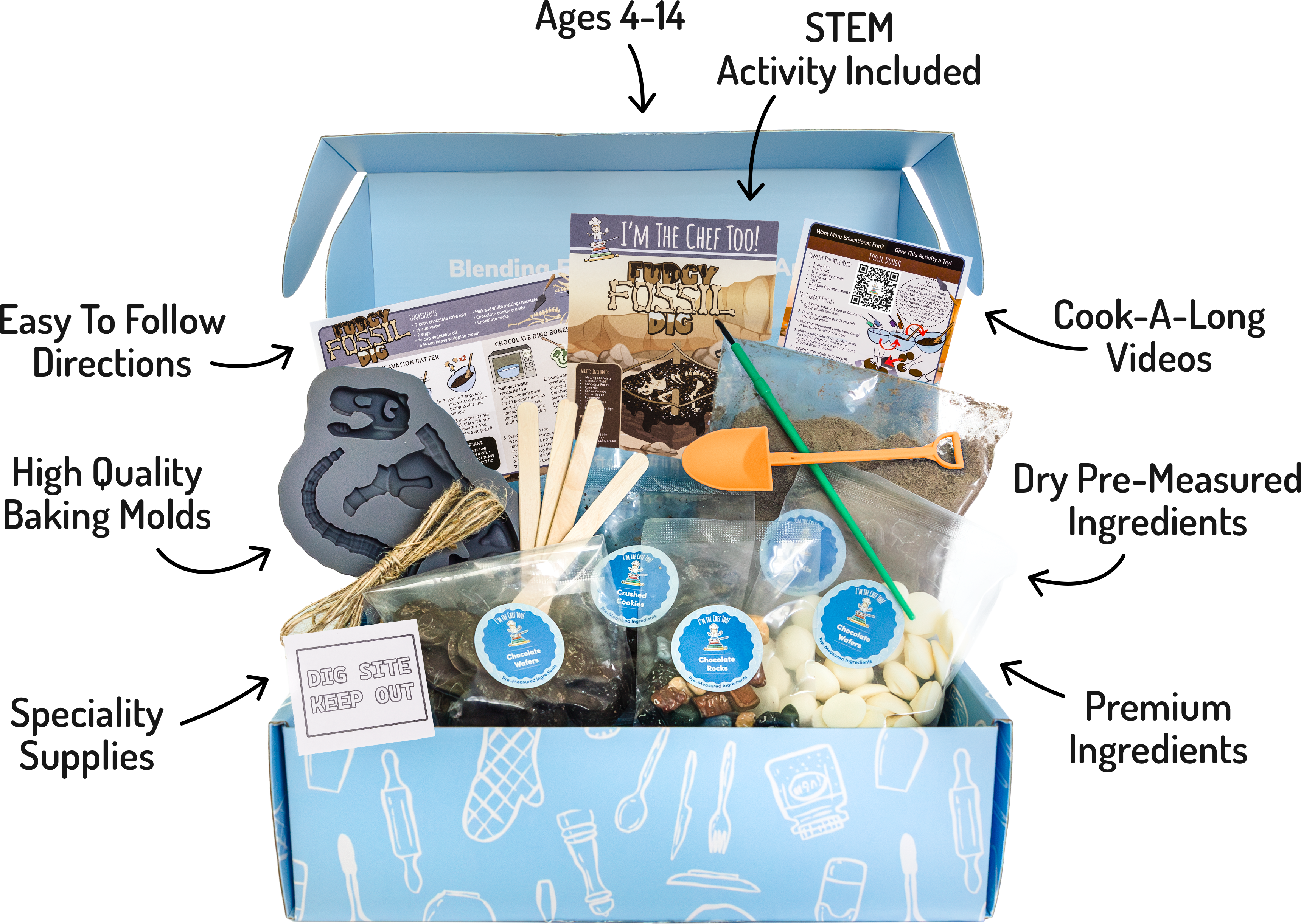
At I'm the Chef Too!, we design our kits with these challenges in mind. Whether it's our monthly The Chef's Club subscription or a one-time adventure like the Galaxy Donut Kit, we provide pre-measured ingredients and clear instructions to make sure the focus stays on the joy of discovery, not the stress of the mess.
Troubleshooting Common Mapping Challenges
Sometimes, a map project doesn't go exactly as planned. Here is how to handle a few common "roadblocks":
- "My map is too small!" If a child starts drawing and realizes they’ve run out of room for the whole neighborhood, it’s a perfect "teachable moment" about scale. Don't start over—just tape another piece of paper to the side! This shows how maps can be "tiled" together.
- "I don't know what symbol to use." Encourage them to look at real maps or atlases for inspiration. If they are still stuck, tell them there are no wrong answers. If they want a cat face to represent the local pet store, that is perfectly valid as long as it's in the legend!
- "It doesn't look like the real place." Remind them that a map is a representation, not a photograph. Even professional maps leave out certain details to make the important information easier to see.
Mapping the Future: Digital vs. Analog
As children grow, they will naturally move toward digital maps. However, starting with analog (paper and physical) maps gives them a "mental map" that digital tools cannot provide. When we follow a blue dot on a screen, we often stop paying attention to our surroundings. When we use a paper map, we are constantly looking up, identifying landmarks, and checking our orientation.
By encouraging our children to engage in these hands-on projects, we are giving them the tools to be more than just passive users of technology. We are raising them to be cartographers of their own lives—people who can look at a complex situation, break it down into its parts, and find their way forward.
Conclusion
A map project for kids is more than just a craft; it is a multi-disciplinary journey through math, science, and the arts. By teaching children to translate the world around them into symbols and scales, we are fostering the spatial reasoning skills that will serve them in any career they choose. From the simple joy of a treasure hunt to the complex beauty of a 3D salt dough mountain range, these activities turn learning into a tangible adventure.
At I'm the Chef Too!, our mission is to make these "aha!" moments happen every day. We believe that when you blend food, STEM, and the arts, you create a recipe for lifelong curiosity. Whether you are exploring the stars with our Galaxy Donut Kit or mapping a neighborhood for the first time, remember that the goal is the journey, not just the destination.
- Start small with a map of a single room.
- Use the TODALS method to teach professional map elements.
- Incorporate sensory materials like salt dough or food to make the lesson stick.
- Encourage storytelling through fantasy maps.
"The best way to understand the world is to try and draw it. When we map our surroundings, we aren't just making a picture; we are building a mental bridge to the spaces we inhabit."
Are you ready to start your next learning adventure? Explore our full kit collection or join The Chef's Club for a monthly dose of STEM-infused fun delivered straight to your door.
FAQ
What age is best to start a map project for kids?
You can start as early as age 4 with simple concepts like "bird's-eye view" and mapping a single room. As children reach ages 8 to 12, they can handle more complex tasks like scaling, using a compass, and creating 3D topographical models.
How do I explain "scale" to a young child?
The easiest way to explain scale is to use a physical object as a reference. Tell them that one "Lego brick" or one "finger length" on their paper represents one big "giant step" in the real room. This helps them visualize how large spaces can be shrunk down to fit on a page.
Do I need a real compass for these projects?
While a real compass is a great tool for older kids to learn about magnetic north, it isn't strictly necessary for a basic map project. You can simply designate one wall of the room as "North" or use a smartphone compass app to help them orient their map correctly.
What are the best materials for making a 3D map?
Salt dough is a classic and affordable choice because it is easy to mold and hardens as it dries. You can also use modeling clay, kinetic sand for temporary maps, or even recycled materials like egg cartons and cardboard for a more "mixed-media" approach to building elevation.
How can I keep kids interested after the first map?
If they enjoy hands-on learning, the easiest next step is to join The Chef's Club for a fresh themed adventure each month.